
Laugavegur Trail Guide: Iceland’s 55km Trek + Map & Cost Breakdown
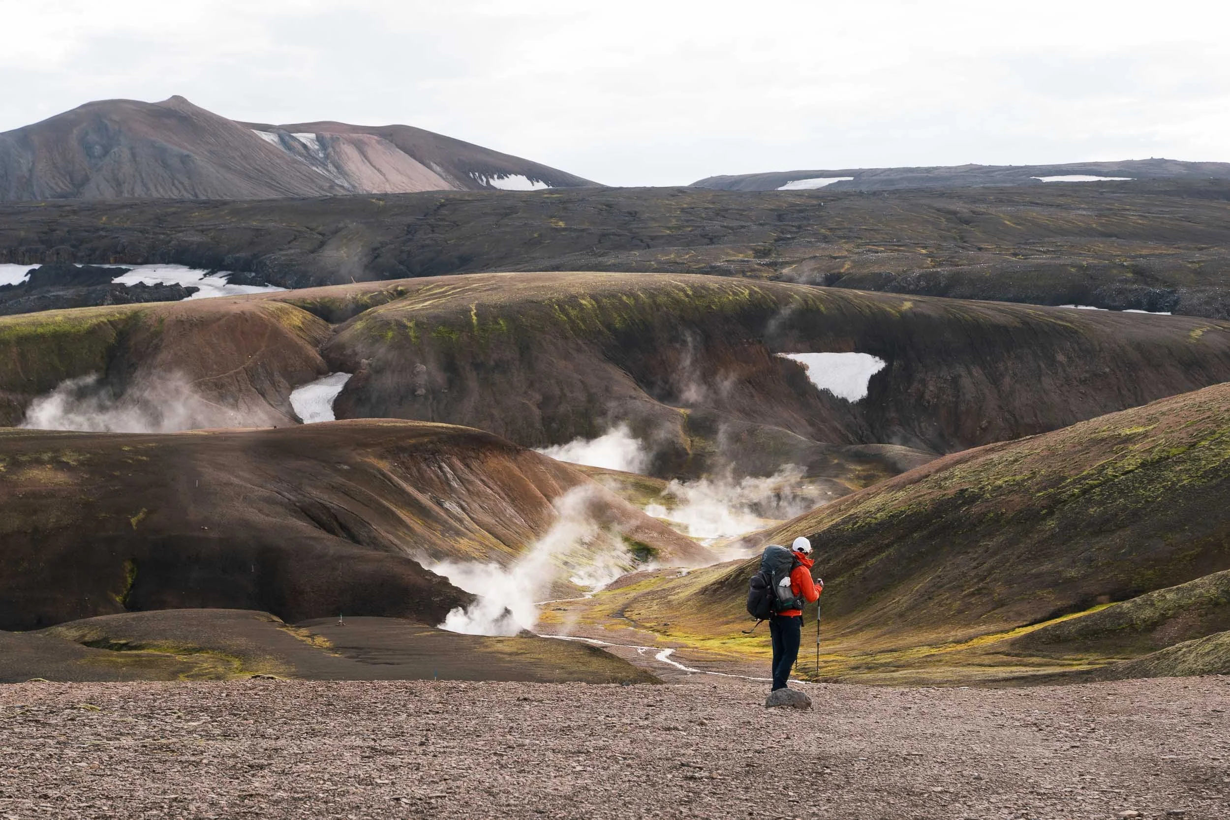
If there is one hike that truly captures the beauty of Iceland, it is the Laugavegur Trail. Stretching for 55 km through geothermal valleys, black sand deserts, snow-capped ridges, and lush green canyons, this route showcases everything that makes the Land of Fire and Ice so extraordinary. Every stage reveals a completely different side of Iceland: from steaming hot springs and colorful rhyolite mountains to moss-covered lava fields and glacial rivers.
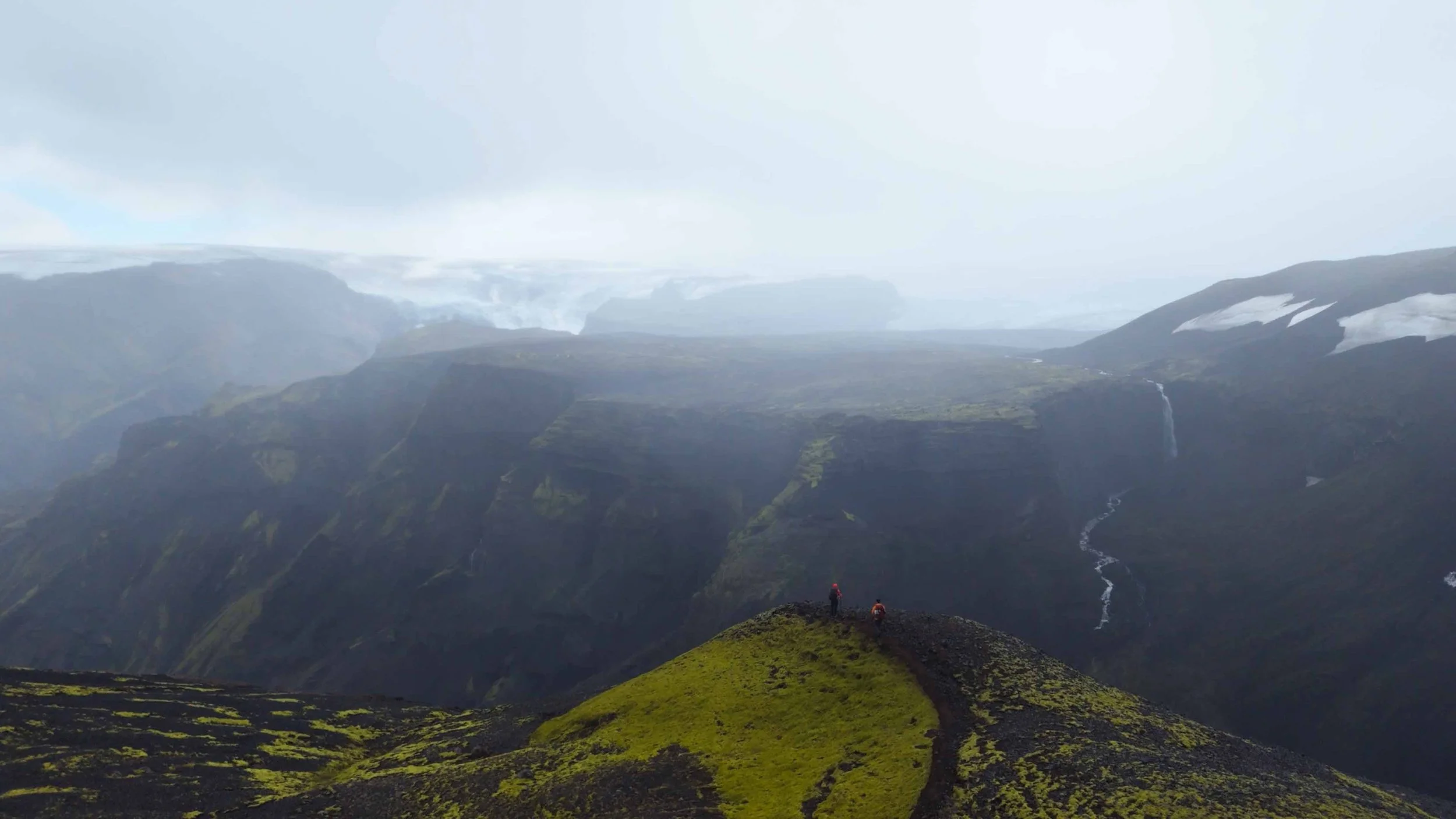
What makes this journey so striking is not just its beauty, but its raw, elemental power. You will notice how little wildlife you encounter along the way, a stark reminder that these are truly barren landscapes shaped by catastrophic volcanic eruptions and glacial carving. You will walk across fire-blasted obsidian fields, snow-dusted plateaus, and even part of a collapsed volcanic caldera, tracing terrain sculpted over millions of years.
Though remote, the Laugavegur Trail is far from untested. It is Iceland’s most iconic and celebrated multi-day trekking route, supported by a network of historic mountain huts that have welcomed backpackers since the 1960s. These simple shelters make it possible to cross one of the planet’s most otherworldly terrains, where weather and geology remain in constant motion.
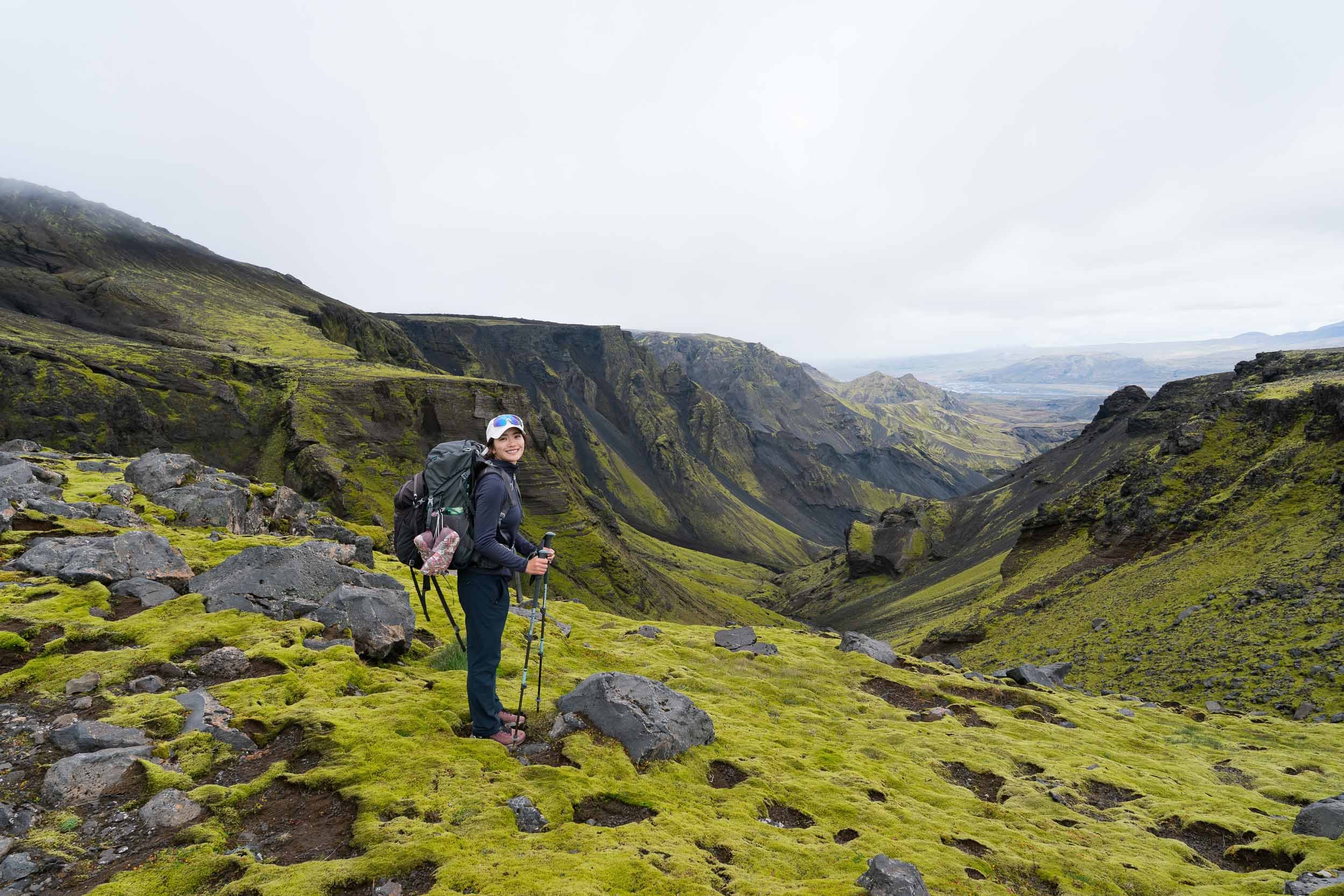
We hiked the Laugavegur Trail in September, combining it with the Fimmvörðuháls trail all the way to Skógar, and it quickly became one of our all-time favorite wilderness journeys. Between the ever-shifting colors, the natural hot springs, and the profound feeling of isolation, it is easy to see why this trek is considered one of the world's premier walks.
Trail Overview: Key Stats & Difficulty
Location: Icelandic Highlands (Southern Region of Iceland)
Start / End: Landmannalaugar → Þórsmörk (or reverse)
Distance: 55 km / 34 miles
Duration: 3–5 days (most people take 4 days)
Difficulty: Moderate — no technical climbing, but exposed weather and river crossings
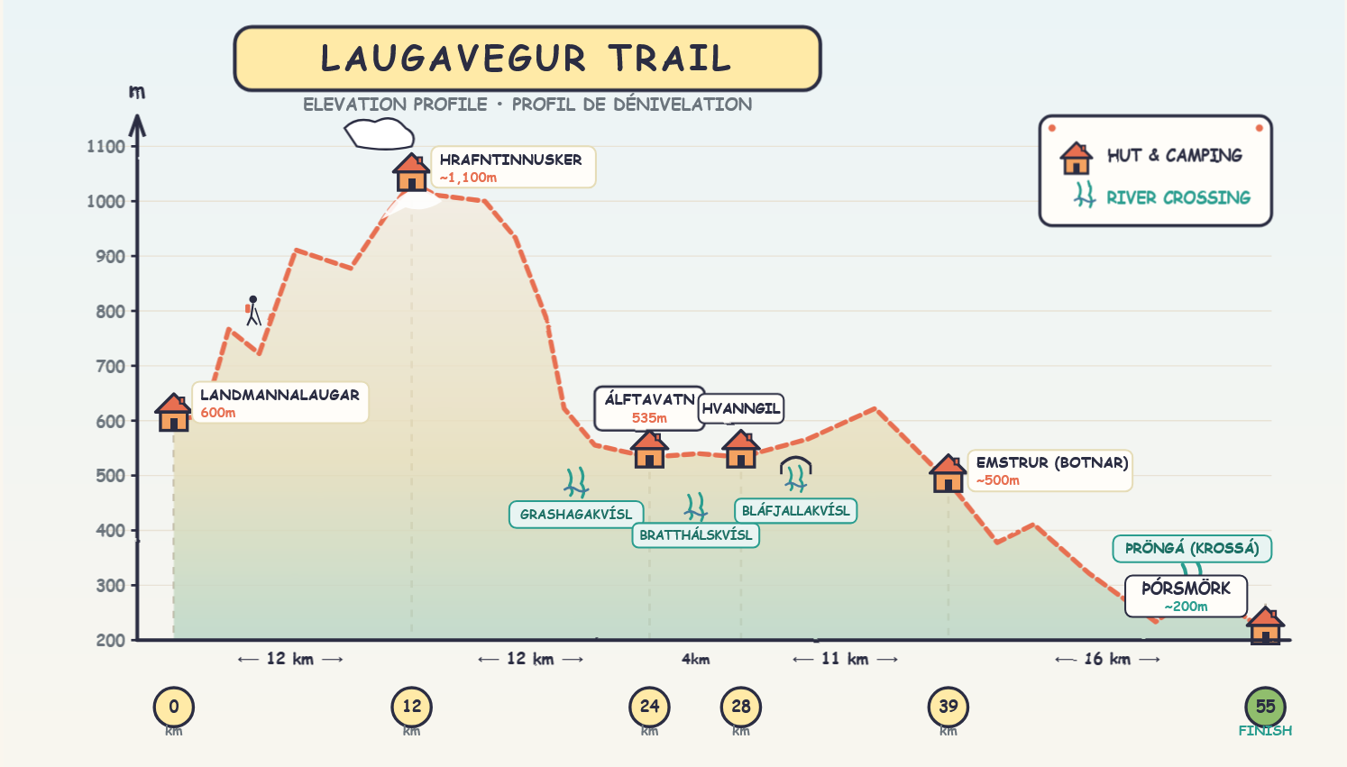
Elevation Profile: +1,710 m total ascent | -2,070 m total descent
Direction: North to South is recommended for net descent and favourable prevailing winds
Highest Point: ~1,100 m (Hrafntinnusker)
Accommodation: Mountain Huts or designated campsites (Wild camping is strictly prohibited)
Season: Late June - mid September (dependent on snow melt and highland F-road openings)
Permits & Bookings: None required, but hut reservations are essential
Navigation: Marked with wooden stakes; offline GPS tracks (AllTrails) required due to zero cell coverage
Best Time to Hike the Laugavegur Trail (Season & Weather)
Because Iceland sits right against the Arctic Circle, the hiking season is relatively short. The Laugavegur Trail is generally accessible from late June to mid September, though the exact opening and closing dates shift each year based on snowmelt, trail conditions, and when the highland F-roads officially open. In 2026, the trail and mountain huts operate from June 25 to September 15.
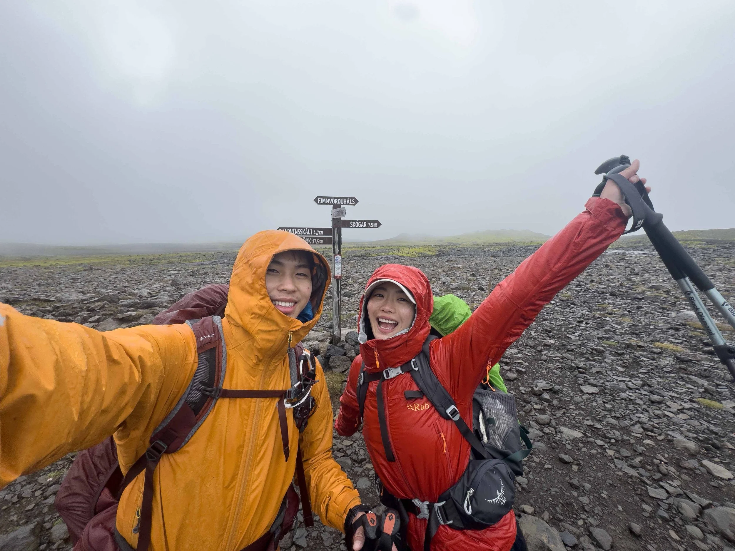
No matter which month you choose, the weather in the Icelandic Highlands is notoriously unpredictable. Even at the height of summer, conditions can shift in minutes, so you should always be prepared for freezing rain, heavy fog, biting winds, and sudden sleet or snowfall on the exposed mountain passes. See our packing list below!
Weather
Here is what you can expect month by month across the trekking season:
Late June (Early Season & Lingering Snow)
The F-roads to Landmannalaugar typically open in late June once the winter snowpack has cleared (always verify current road conditions on road.is). You will encounter significant snow on the trail, especially across the high passes around Hrafntinnusker.
The Pros: The snowy backdrop magnifies the dramatic landscape, and early season hikers have better access to nearby ice cave formations. With the summer solstice occurring around this time, you get nearly 24 hours of daylight (the Midnight Sun). Campers should definitely pack a sleep mask.
The Challenges: Navigating across snowfields requires extra caution and an offline GPS track, though the wooden trail stakes help keep you on route. Glacial river crossings run noticeably higher and faster due to active spring snowmelt.
July (Peak Season & Vibrant Colors)
July is the most popular month on the trail, and hut reservations tend to sell out almost instantly.
The Pros: By mid July, snow levels drop significantly, trail markers are fully visible, and the river crossings become much more manageable. The nearly continuous daylight gives you complete flexibility to hike late into the evening, making it ideal for beginners who want to take their time or fast-packers completing the route in 2 to 3 days.
The Challenges: High trail traffic and crowded campsites. Early July can still hold stubborn snow patches on the first section of the trail.
August (Stable Weather & Warmer Water)
August remains peak trekking season with similarly high demand for mountain huts.
The Pros: Trail conditions are at their driest, and river crossings are at their lowest and most manageable levels of the summer.
The Challenges: The midnight sun fades by early August. As the month progresses, daylight hours shorten, and overnight temperatures drop noticeably.
September (Autumn Hues & Aurora Season)
September brings a quieter atmosphere to the trail as the summer crowds thin out, making it easier to snag last-minute hut spots.
The Pros: The highland valleys turn rich shades of gold and amber, and as darkness returns to the night sky, your chances of catching the Northern Lights increases dramatically.
The Challenges: Days are much shorter, temperatures frequently drop below freezing at night, and early winter snowstorms can hit the higher elevations.
We chose to hike in early September specifically for the chance to spot the aurora, and we were lucky enough to see the Northern Lights twice across our 5-day trek along the Laugavegur and Fimmvörðuháls trails.
Useful weather forecast resources
SafeTravel.is Monitor trail alerts, wind warnings, and river safety updates
Belgingur.is Best hourly Icelandic weather forecast
Laugavegur Trail 4-Day Itinerary: Daily Route Breakdown
Day 1 Landmannalaugar to Hrafntinnusker
Distance: 11.7 km
Elevation Change: +680 m, -233 m
Highlights: Steaming Laugahraun obsidian fields, sulfur vents, Brennisteinsalda rhyolite ridges, high alpine snowfields.
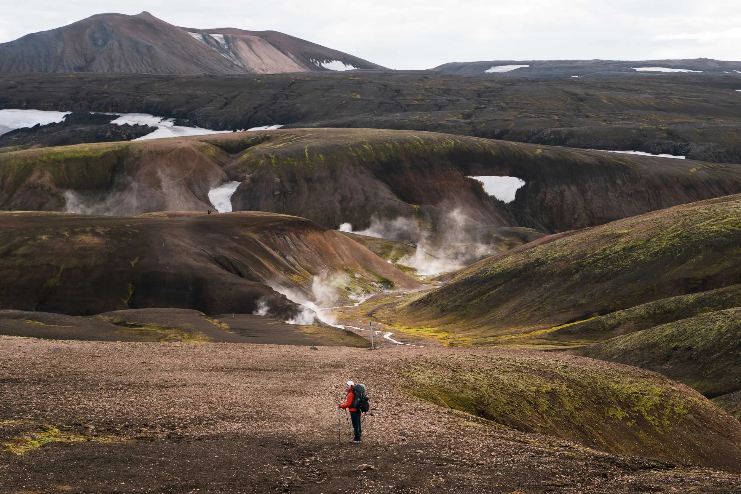
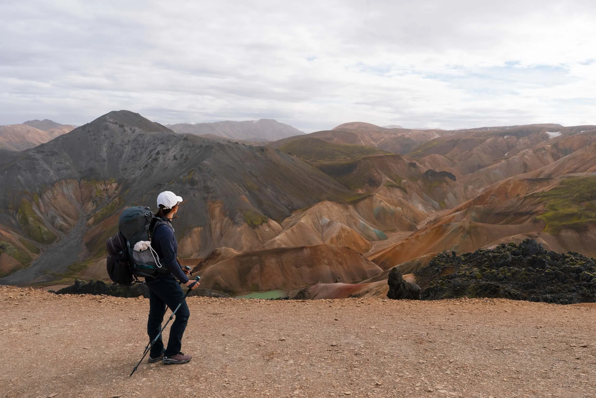
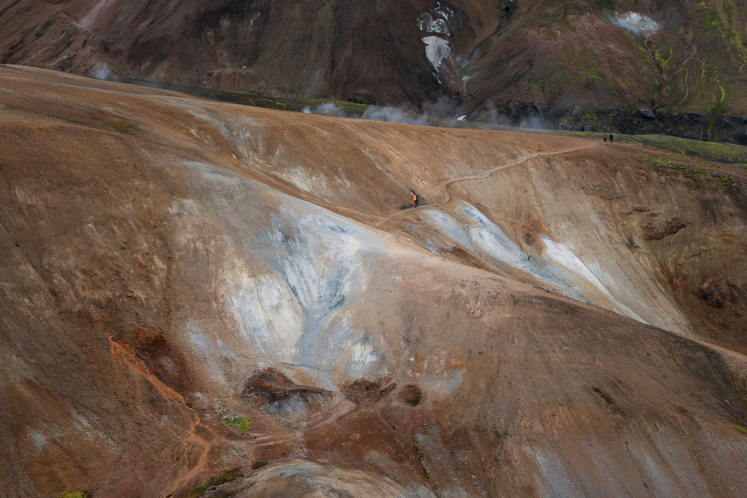
The trail begins right beside the natural geothermal river at Landmannalaugar, winding up through the black volcanic glass of the Laugahraun lava field. You climb steadily into colorful geothermal hills, where steam billows out of the earth and the scent of sulfur fills the crisp mountain air.
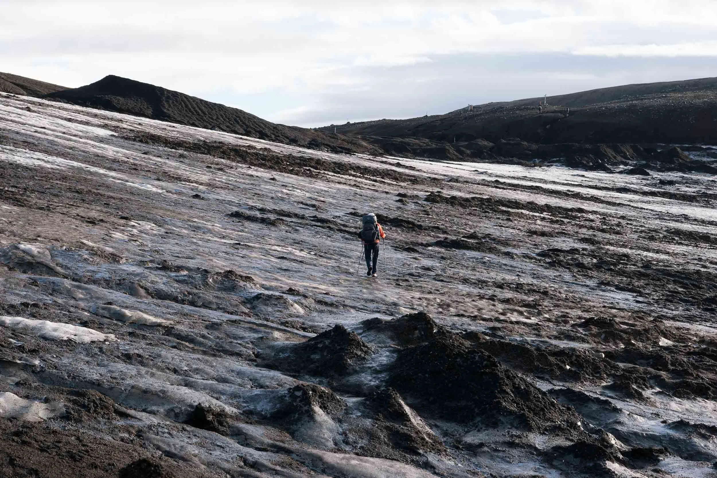
Past the steaming vents of Stórihver, you gain the high, barren plateau of Hrafntinnusker. The landscape shifts into an austere, grey-and-white expanse of obsidian scree and lingering snowfields, concluding at the remote Hrafntinnusker Hut.
Day 2 Hrafntinnusker to Álftavatn
Distance: 12.1 km
Elevation Change: +240 m, -722 m
Highlights: Dark volcanic ravines, the breathtaking panoramic drop at Jökultungur, your first unbridged glacial river crossing.
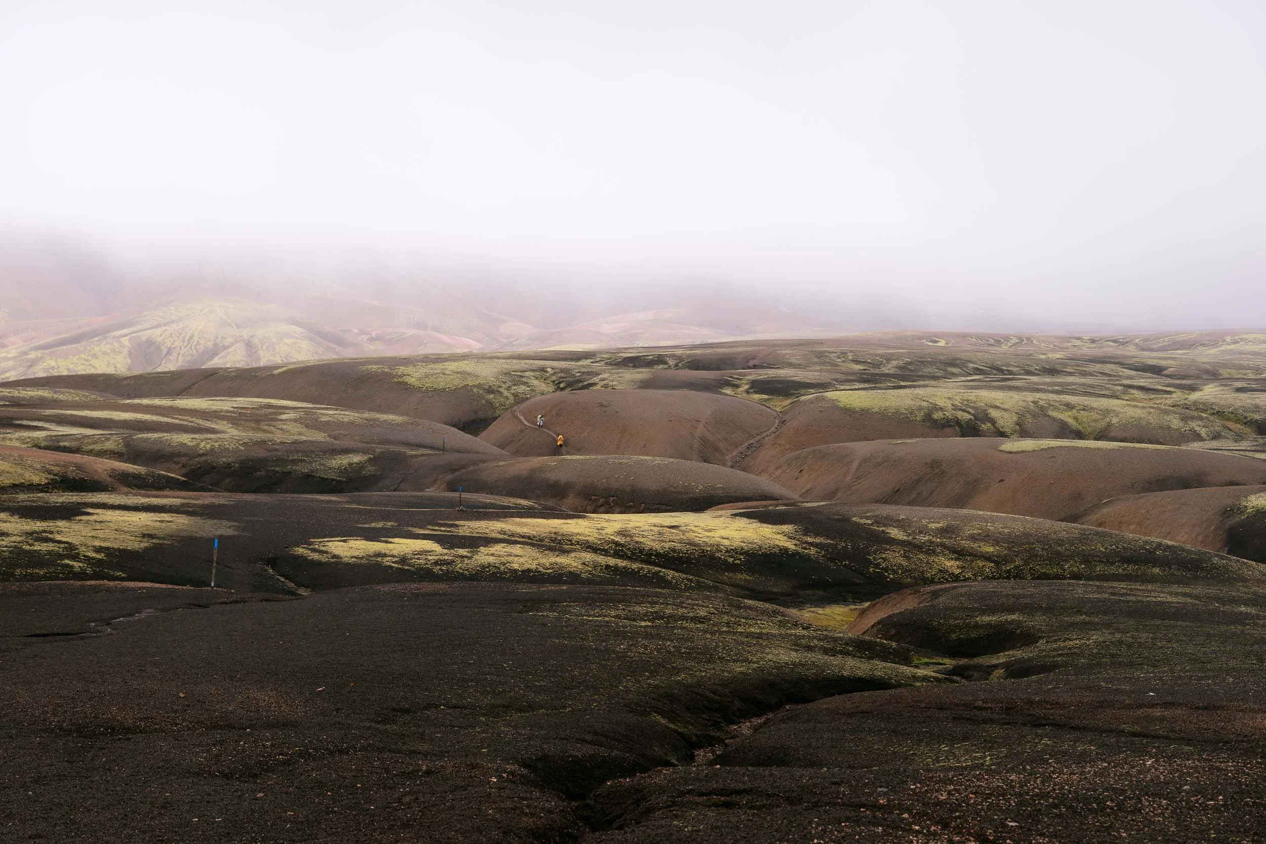
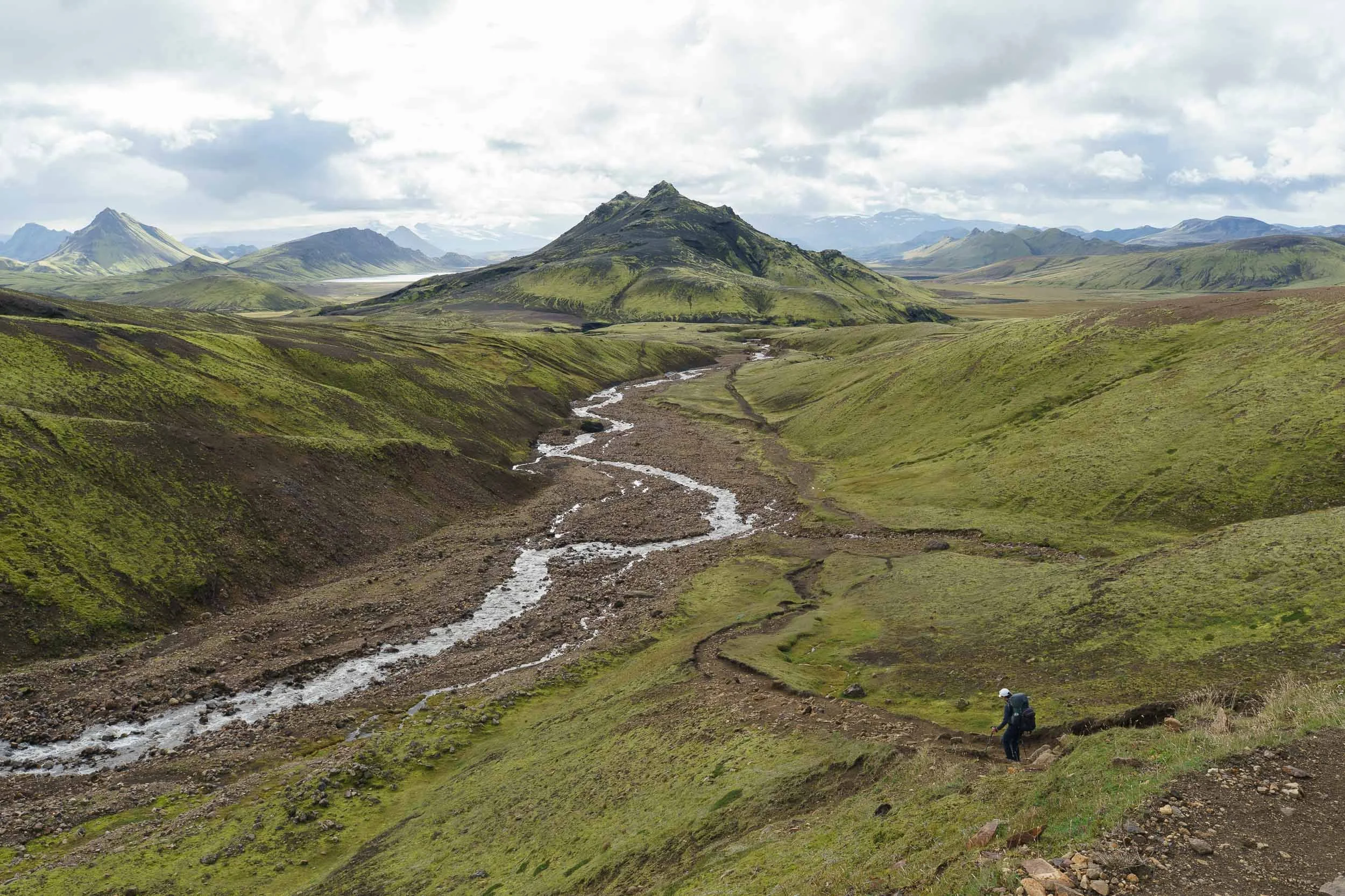
Starting across snow bridges and dark gravel ravines, the trail traverses the edge of the Kaldaklofskvísl gorge before reaching the top of Jökultungur. The view here is one of the most celebrated in the Highlands: a sudden, breathtaking panorama looking down over neon-green volcanic cones, shimmering lakes, and the mirror-like surface of Lake Álftavatn.
A steep downhill descent brings you down to the valley floor, where you will unbuckle your pack, swap into water shoes, and wade across your first unbridged river before arriving at the lakeside huts of Álftavatn.
Day 3 Álftavatn to Emstrur (Botnar)
Distance: 16.4 km
Elevation Change: +350 m, -435 m
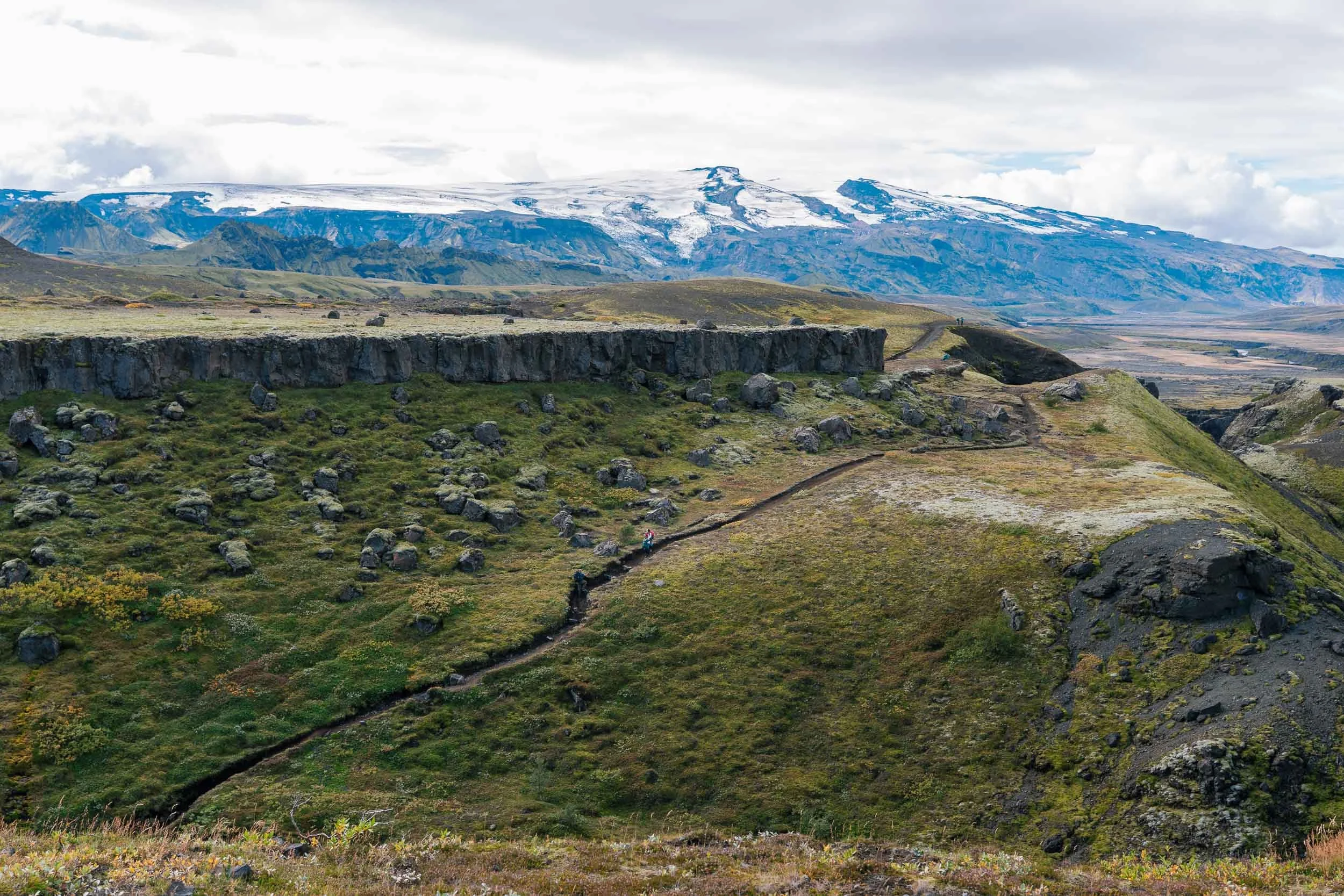
Highlights: Crossing the icy Grashagakvísl river, Mælifellssandur black sand desert, panoramic views of the Mýrdalsjökull glacier, Markarfljótsgljúfur canyon.
After leaving the lake, you will quickly cross the shallow stream beside Brattháls before tackling the cold, knee-deep waters of the Grashagakvísl river.
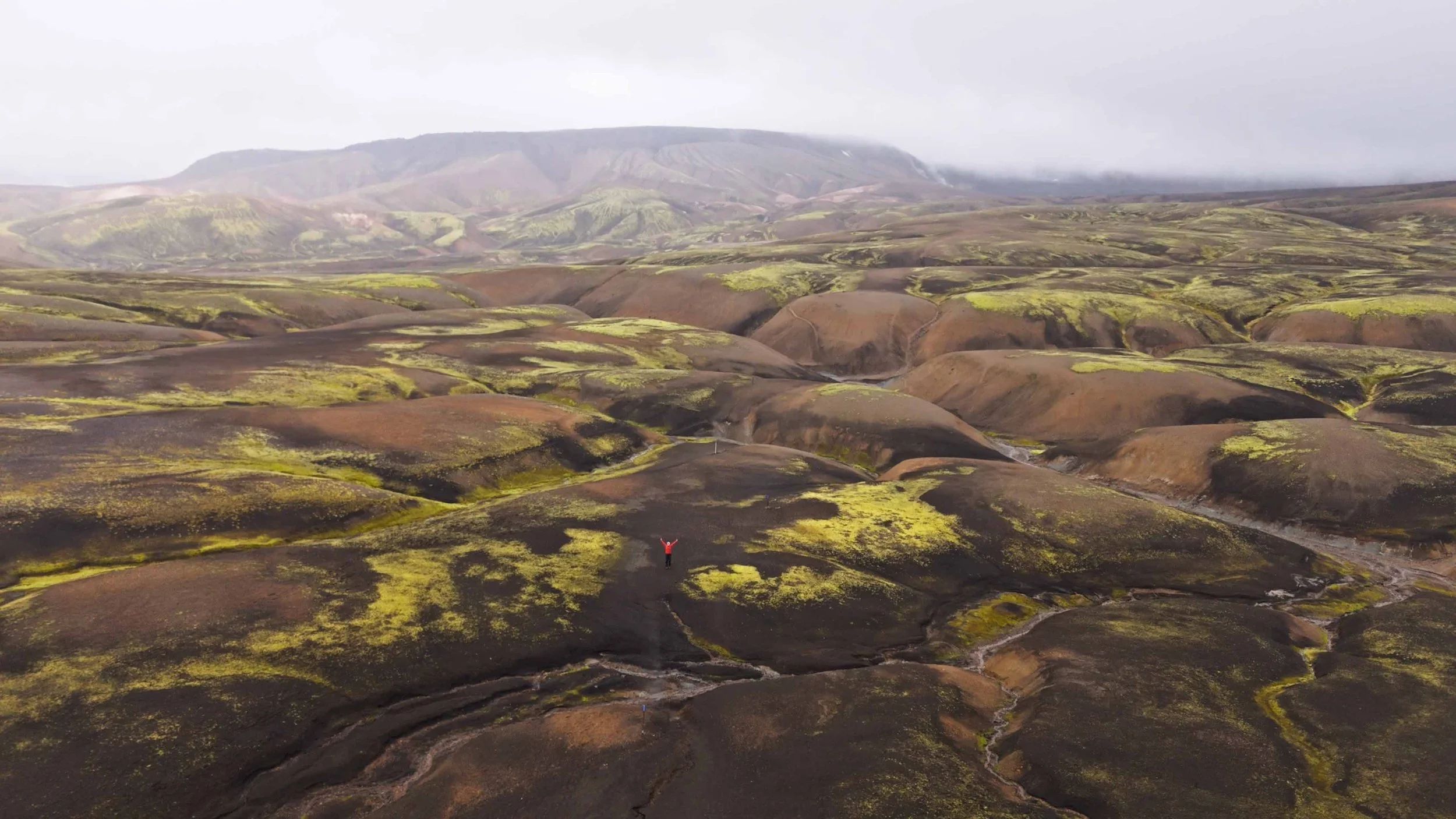
From here, the route enters the haunting expanse of the Mælifellssandur black sand desert. You spend hours walking through a vast volcanic plain framed by the emerald-green cone of Stórasúla and the white ice sheet of Mýrdalsjökull. The day wraps up at the Botnar huts in Emstrur. After dropping your pack, take a 45-minute evening side hike out to the rim of the 200-meter-deep Markarfljótsgljúfur canyon.
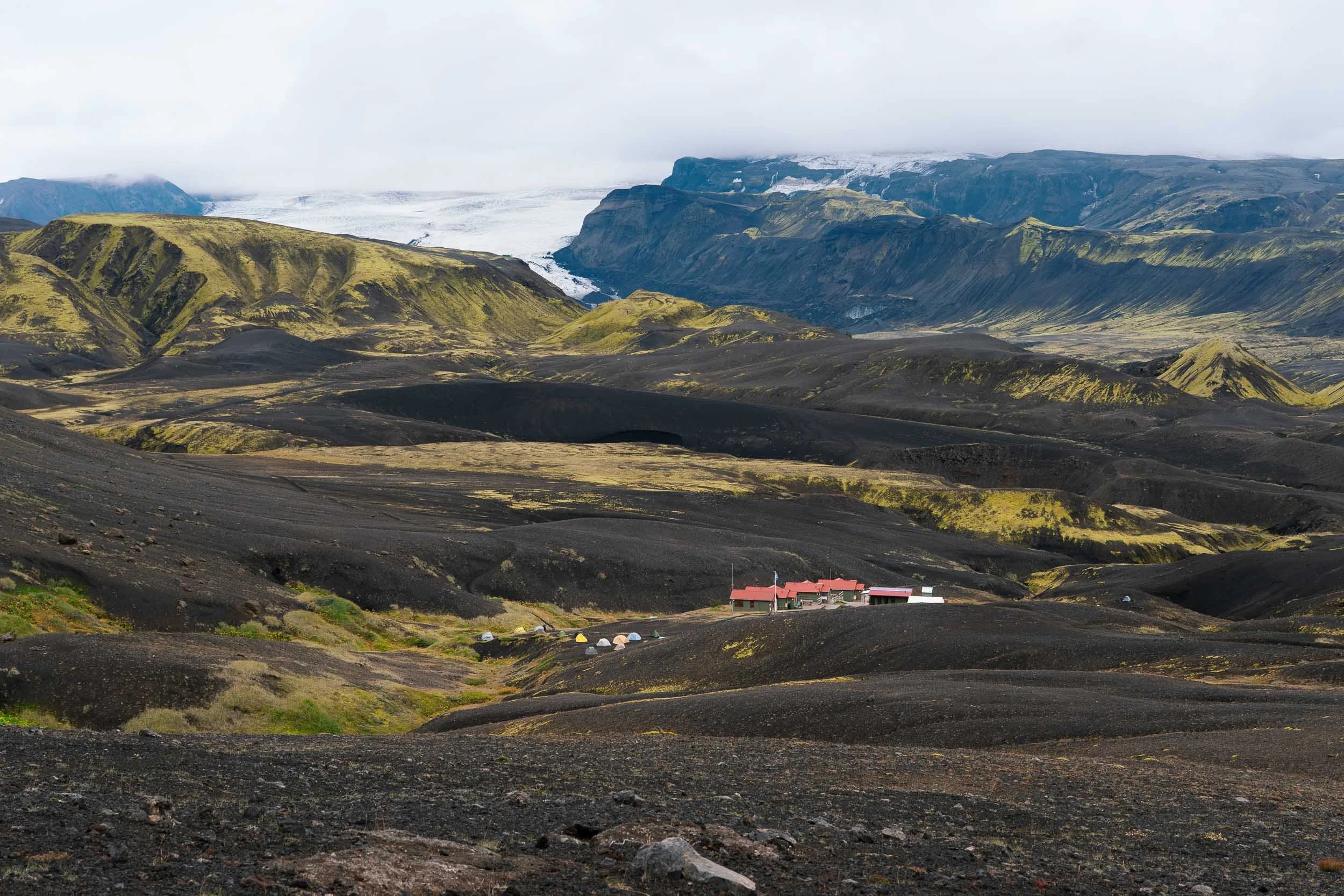
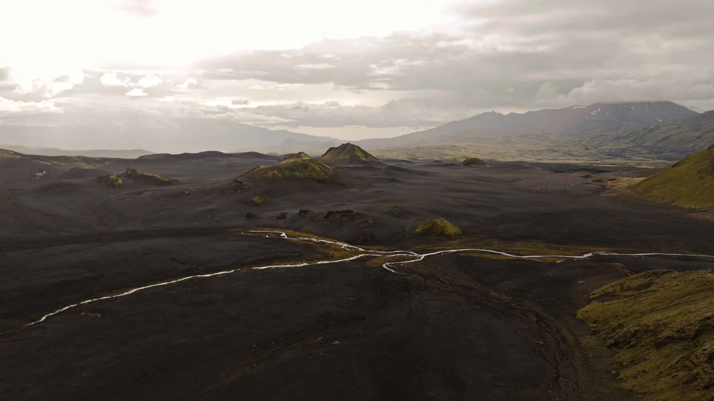
Day 4 Emstrur to Þórsmörk (Thorsmork)
Distance: 16.2 km
Elevation Change: +440 m, -680 m
Highlights: Deep footbridge across the roaring Syðri-Emstruá gorge, Ljósá riverbed, crossing the braided Krossá river, arriving in the lush birch forests of Þórsmörk.
The final official stage leaves the black desert behind. You descend into a deep canyon and cross a wooden suspension bridge bolted high above the churning rapids of the Syðri-Emstruá river.
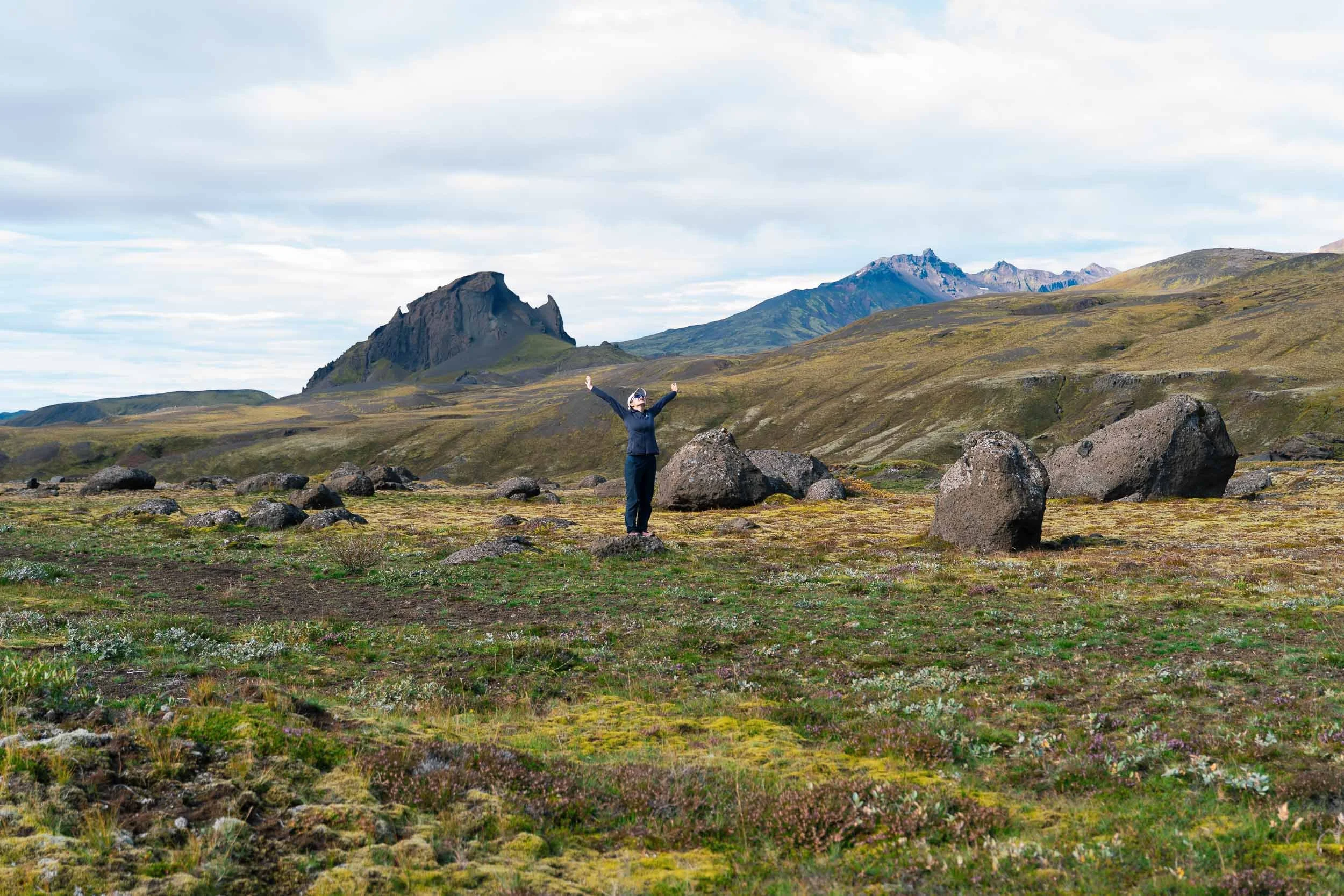
Traversing the rolling sandy hills of Almenningar, low Arctic birch shrubs begin to appear, signaling your descent toward lower altitudes. Before reaching camp at Langidalur or Volcano Huts in Húsadalur, you face the widest water obstacle: the braided, freezing glacial channels of the Krossá river. Use the wheeled, movable footbridges whenever available, or link arms with trekking partners to wade across the designated channels. Stepping off the river gravel into the thick green birch woodlands of Þórsmörk feels like entering a welcoming sanctuary.
Optional Extension Adding the Fimmvörðuháls Trail (Þórsmörk to Skógar)
If you have extra time and favorable weather, continuing south from Þórsmörk to Skógafoss over the Fimmvörðuháls Pass turns a great trek into an unforgettable 5-day or 6-day traverse:
Distance: 24 to 25 km
Elevation Change: +1,000 m ascent, -1,000 m descent
Route Highlights: Morinsheiði plateau, the raw 2010 Eyjafjallajökull eruption craters (Magni and Móði) where the volcanic rock is still warm beneath the surface, and "Waterfall Way," a spectacular descent following 26 distinct waterfalls along the Skógá River straight to Skógafoss.
Logistics: You can hike it as one long, demanding 8 to 10 hour day directly from Þórsmörk to Skógar, or break it into two days by booking an overnight stay at the high-altitude Fimmvörðuháls mountain hut (Baldvinsskáli).
How to Get to Landmannalaugar & Back from Þórsmörk
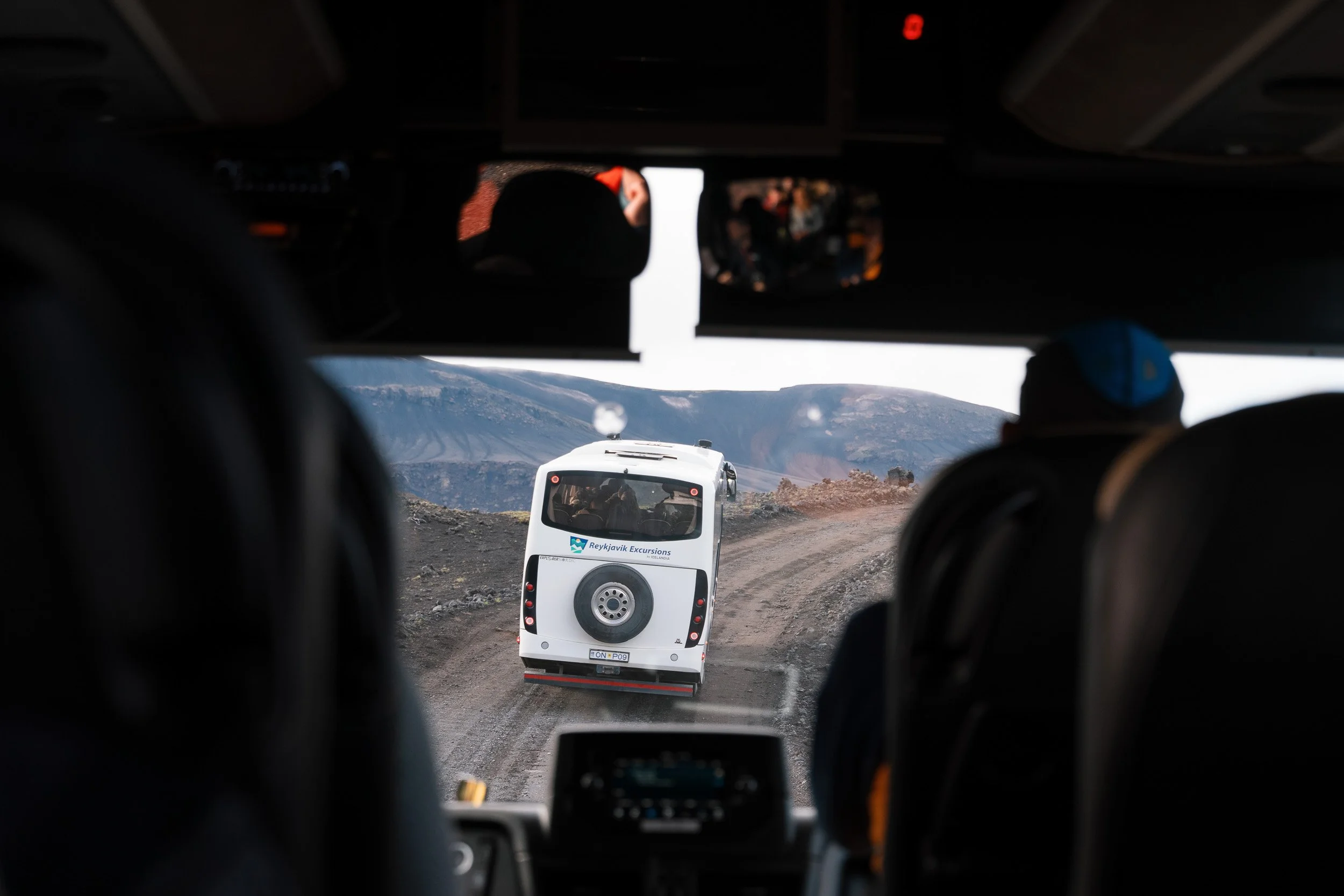
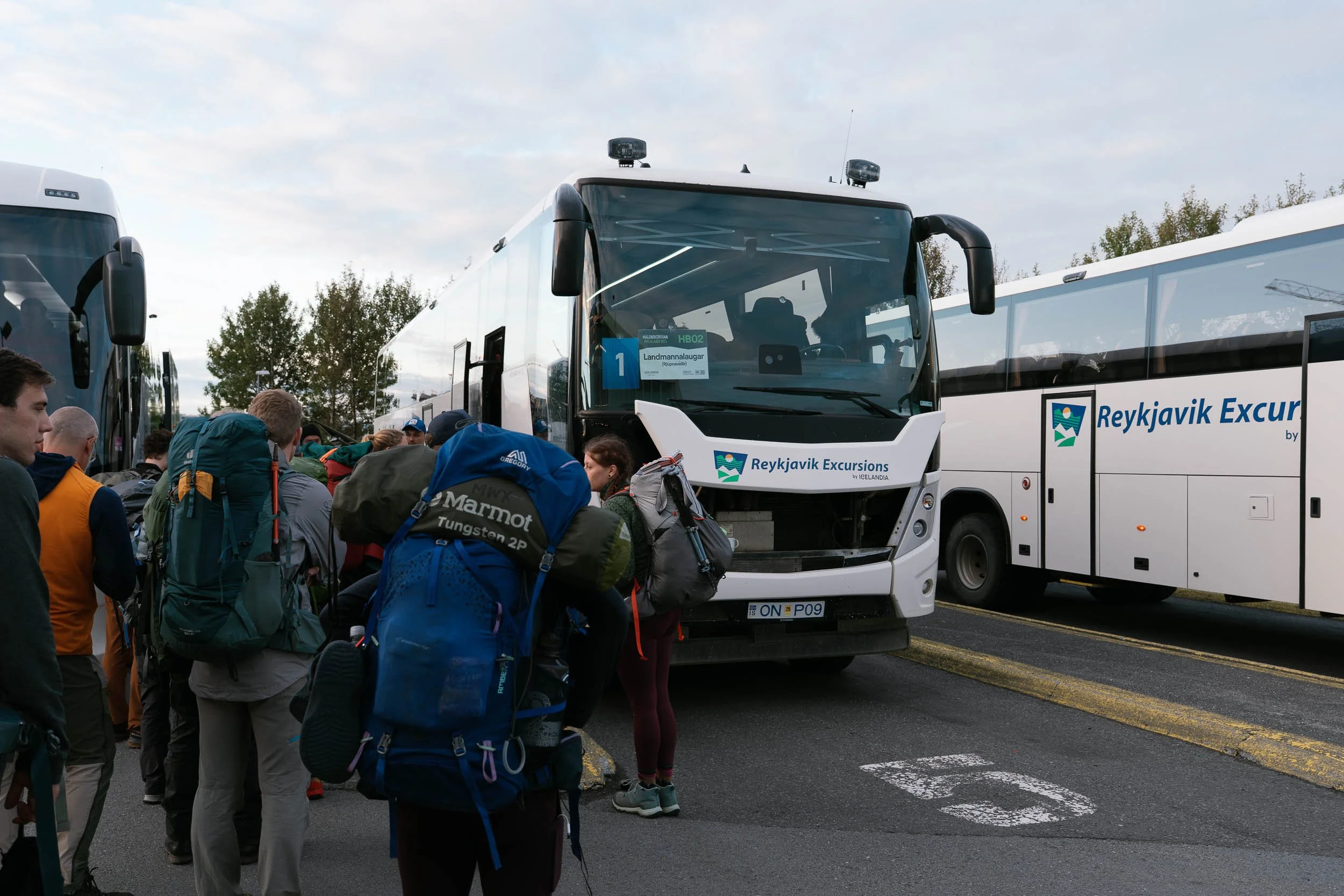
Both trailheads sit deep in the roadless interior and require specialized high-clearance 4x4 vehicles capable of deep water crossings. The simplest, safest way to travel is via seasonal highland transit buses:
To the Trailhead (Reykjavik to Landmannalaugar): Daily scheduled 4x4 buses depart Reykjavik BSI terminal each morning, taking roughly 4 to 4.5 hours. Operators like Trex, and Icelandia drop you right at the mountain hut and hot springs.
From the Finish
Þórsmörk: Highland buses depart Þórsmörk (stopping at both Langidalur and Húsadalur) every afternoon, returning to Reykjavik via Hvolsvöllur in about 3.5 to 4 hours.
Skógar (If completing Fimmvörðuháls): The regular Route 51 Strætó public bus or return Highland buses pick up daily from the parking lot at Skógafoss along the paved Ring Road.
Luggage Transfers: Highland bus companies provide secure luggage transfer services, transporting your heavy street luggage or Ring Road suitcases directly from Reykjavik to Þórsmörk or Skógar so it is waiting for you at the trail's end.
Accommodation: Mountain Huts vs. Camping
Every night on the trail, you will base yourself at an official Ferðafélag Íslands (FÍ) hut outpost. Wild camping outside designated hut camping grounds is strictly illegal to protect the fragile mosses and volcanic soils.
Staying in the Mountain Huts
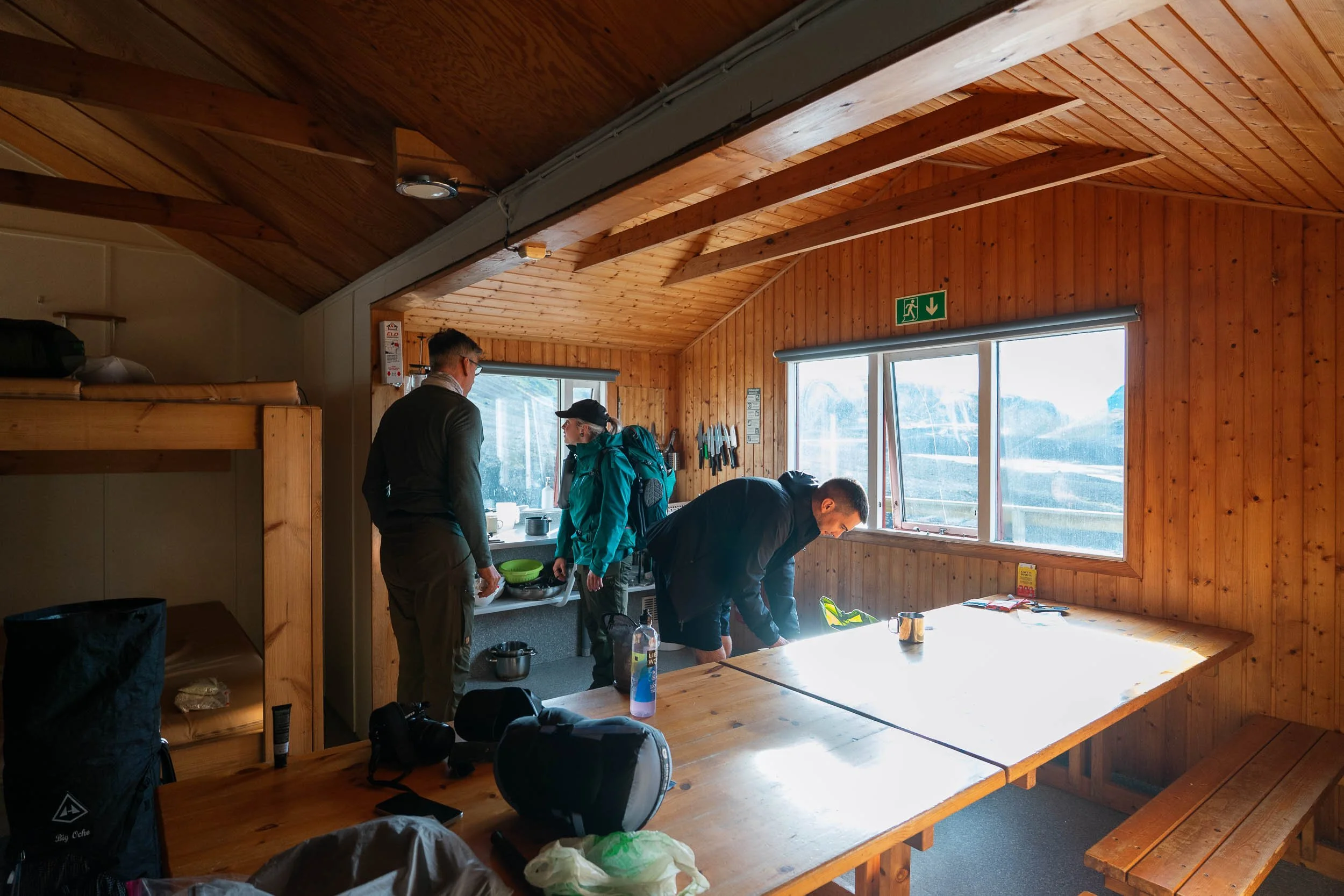
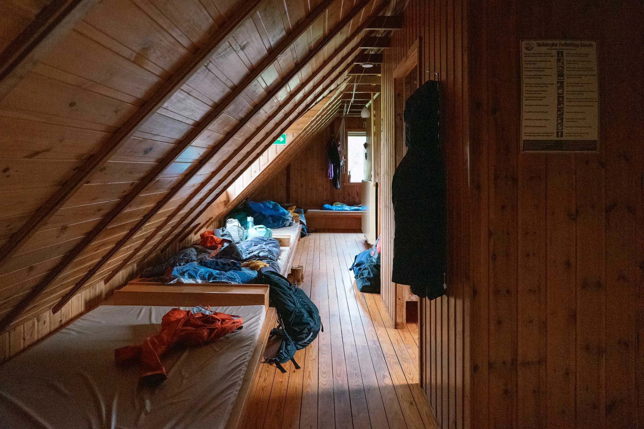
The Facilities: Huts provide warm, communal bunk rooms with foam mattresses, heated common dining areas, and fully equipped shared gas kitchens with pots, pans, utensils, and kettles.
Showers: Álftavatn, Emstrur, and Þórsmörk offer coin/card operated hot showers (around 1,100 ISK for 5 minutes). Hrafntinnusker has no showers due to its extreme altitude and limited water supply.
Atmosphere: Sleeping in the huts provides dry sanctuary, warm social dinners with hikers from around the world, and shelter from violent storms. You must bring your own lightweight sleeping bag; pillows and duvets are not provided.
Camping Beside the Huts
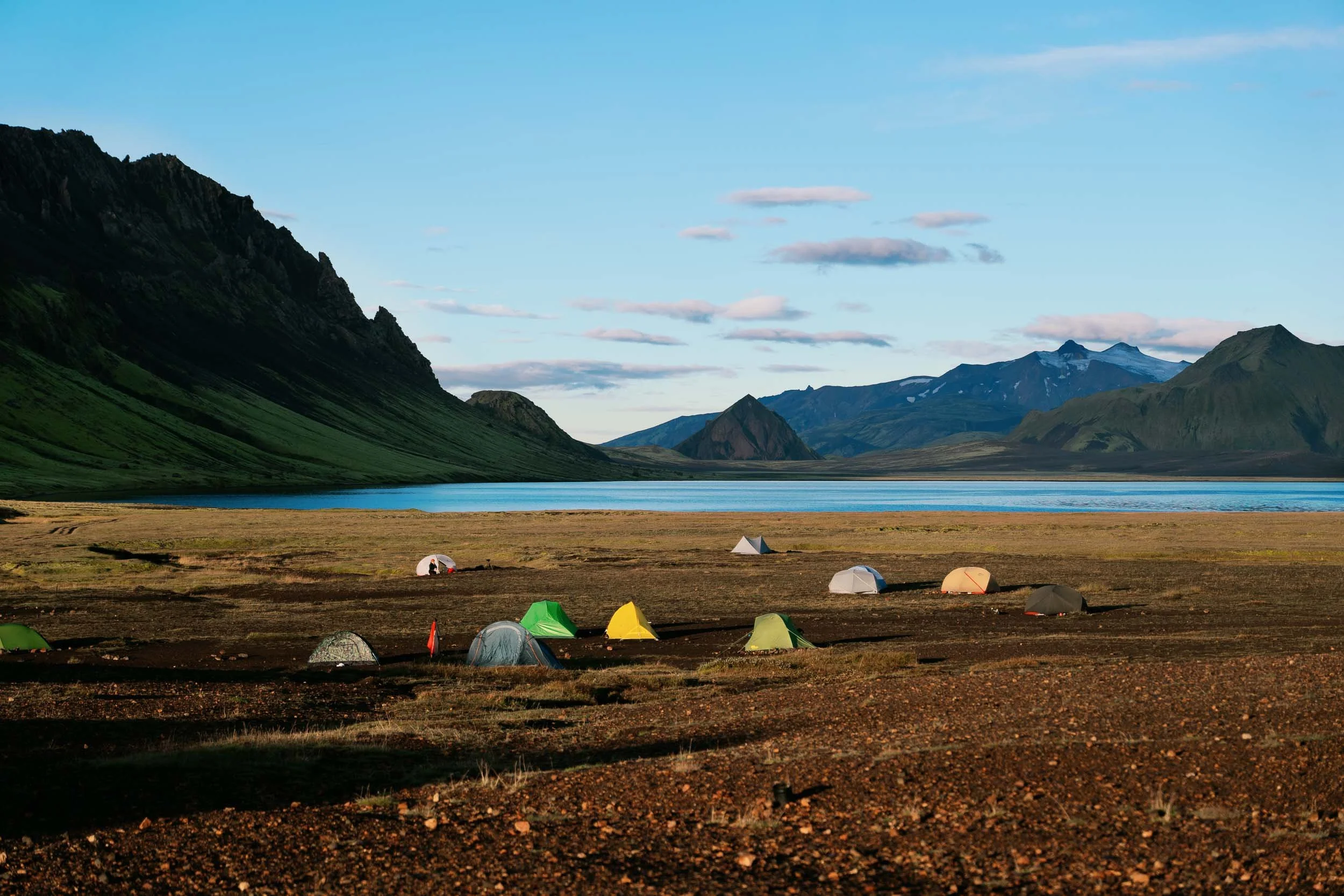
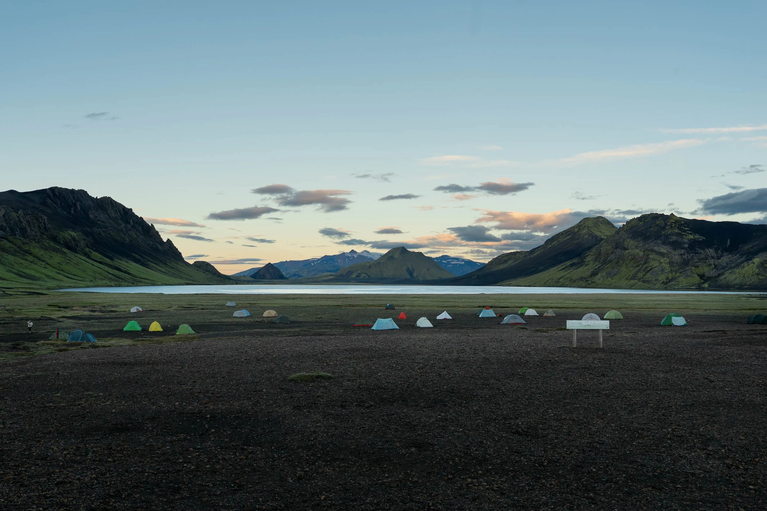
The Facilities: Campers pitch tents on designated gravel and dirt flats beside the huts. You have full access to running cold water sinks and flush toilets, but you cannot use indoor hut kitchens or dining rooms. You must carry your own camp stove, pots, and fuel.
Flexibility & Freedom: Camping allows complete independence. If you feel energetic, you can push ahead to the next camp; if bad weather rolls in, you can stop early.
Tent Requirements: The Highlands experience severe winds. You must use a sturdy, four-season-rated freestanding tent with strong aluminum poles, reinforced guy lines, and heavy-duty stakes designed for loose volcanic sand and gravel.
How to Navigate River Crossings Safely
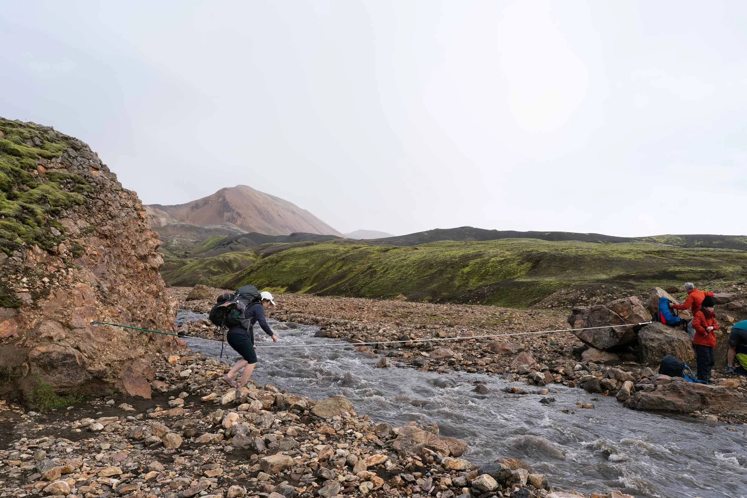
Glacial river crossings are part of the authentic Laugavegur experience, but they demand respect:
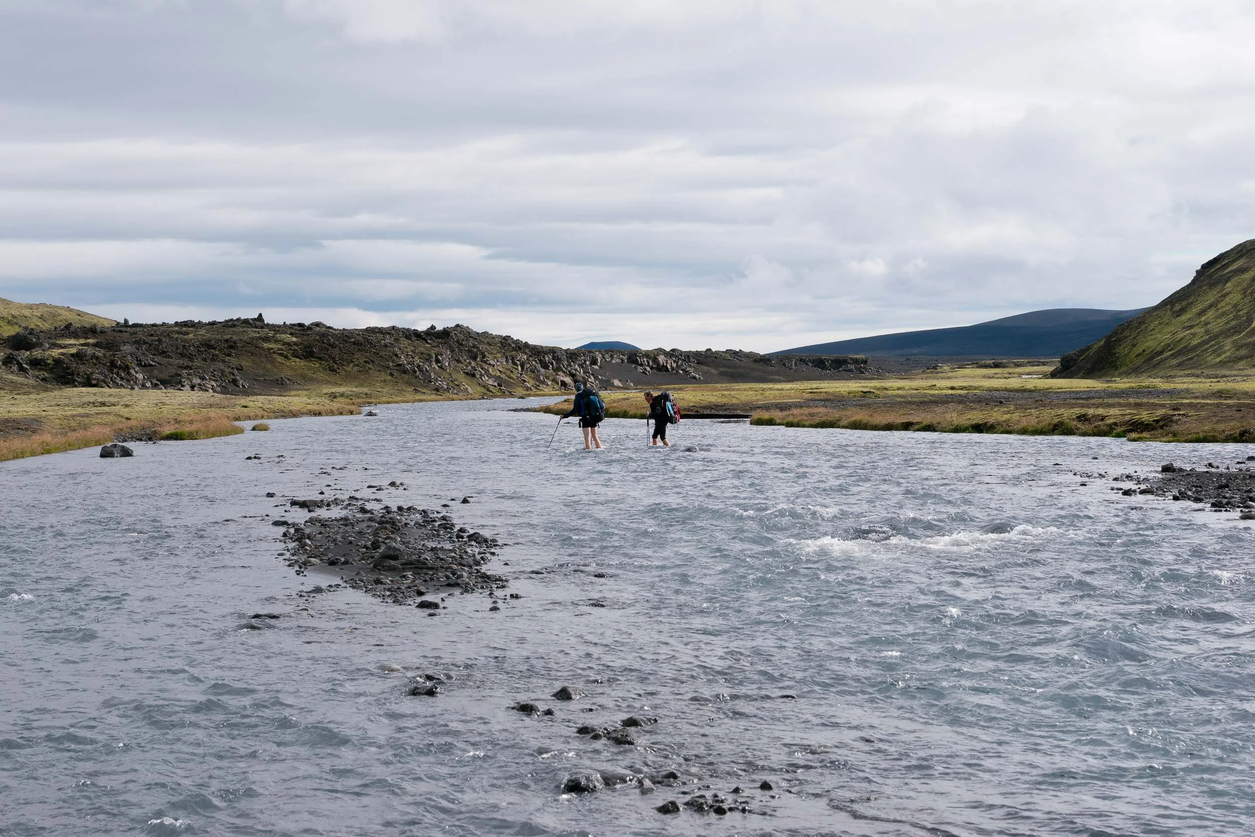
Dedicated Water Shoes: Never cross barefoot. Freezing glacial water numbs your feet within seconds, and submerged volcanic stones are sharp and slick. Wear secure trail sandals, watershoes or old lightweight running shoes with good tread. Flip-flops will get ripped off by the current immediately.
Unbuckle All Backpack Straps: Always undo both your hip belt and sternum strap before stepping into the water. If you lose your footing, you must be able to push your pack away instantly so its weight does not pin you face-down in the current.
Use Trekking Poles as Anchors: Extend your poles slightly and plant them firmly upstream to form a stable tripod with your legs.
Cross at an Angle: Face upstream against the current and wade across diagonally, moving with the flow toward the opposite bank. Never cross directly above deep rapids or drop-offs. If a river looks dangerously high or muddy after heavy rain, wait for other hikers to cross together or seek advice from a hut warden.
Food, Water & Resupply Logistics
Self-sufficiency is mandatory on the Laugavegur Trail:
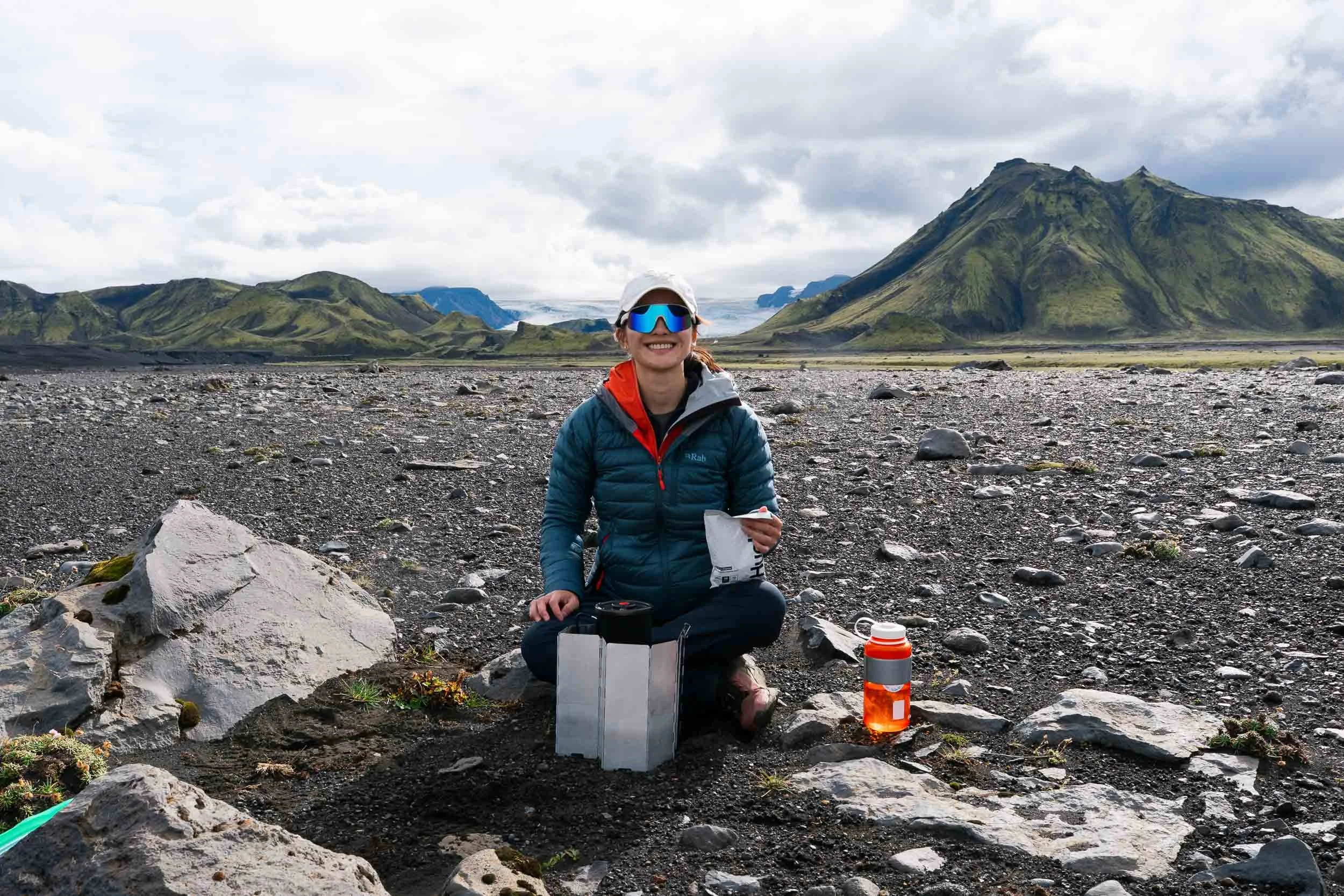
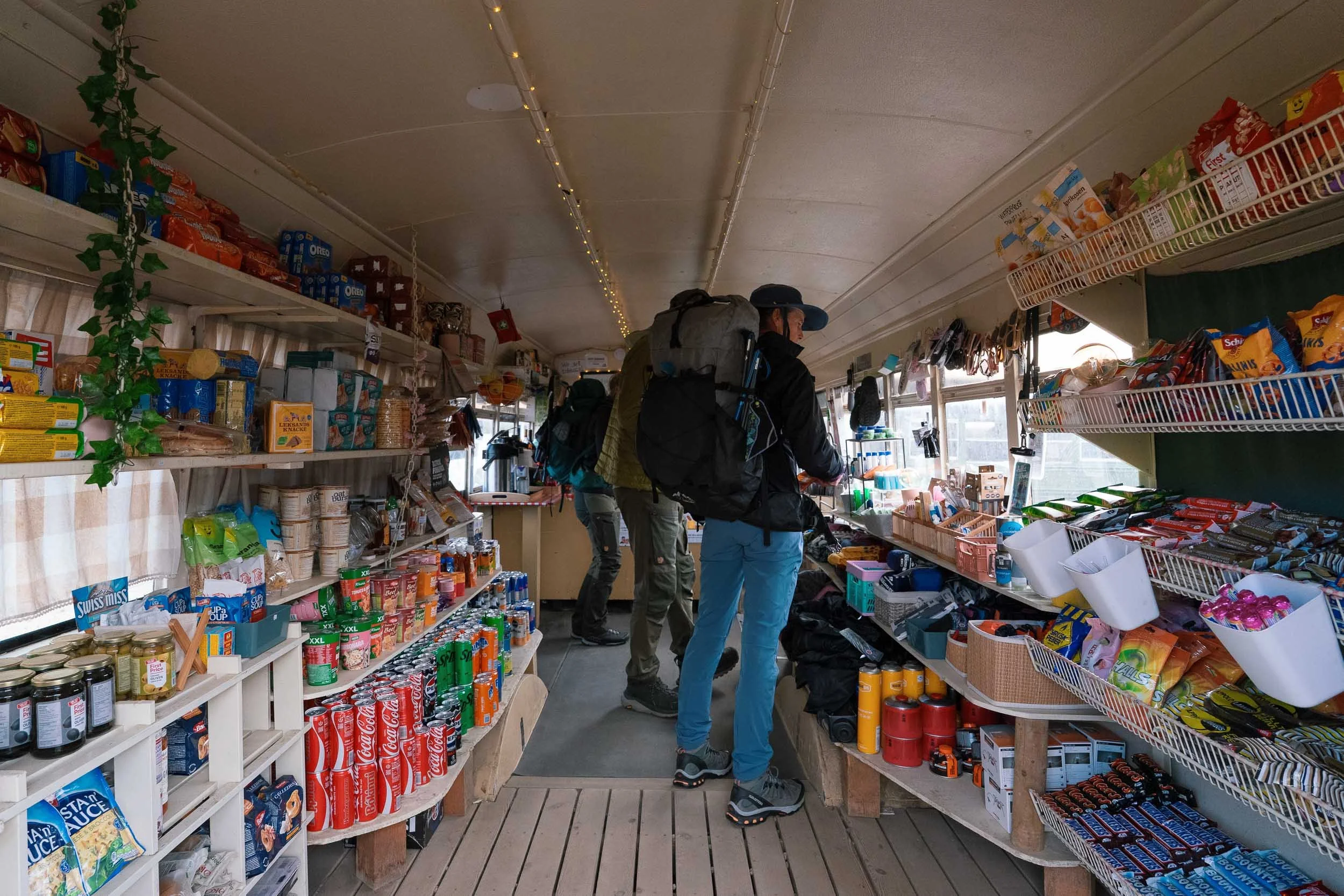
Carry All Your Food: Landmannalaugar has a small camp store where you can pick up last-minute supplies, but otherwise there are no grocery stores or supermarkets between Landmannalaugar and Þórsmörk. You must pack every meal and snack for the duration of your trek. Lightweight, calorie-dense freeze-dried camping meals (such as Real Turmat, Summit To Eat, or Firepot) are ideal because they require only boiling water to prepare.
Limited Emergency Resupply: A few huts sell small emergency provisions like chocolate bars, sodas, and freeze-dried meals at high prices. The small restaurant at Álftavatn serves evening dinners, but spots must be pre-booked and availability is limited, so never rely on it as your primary meal plan. Once you reach Þórsmörk, Volcano Huts in Húsadalur has a full restaurant and bar serving burgers, pizzas, and breakfast buffets.
Safe, Fresh Drinking Water: Clean drinking water is abundant. All mountain huts have drinkable cold water taps. You can also fill water bottles directly from clear mountain side streams and springs without filtering. Only avoid turbid, silt-heavy glacial runoff rivers and water downstream of geothermal sulfur vents. Hot water is available in the hut kitchens for overnight hut guests.
Trip Budget: How Much Does Hiking the Laugavegur Trail Cost?
The overall cost of hiking the Laugavegur Trail depends mainly on whether you choose to sleep in the mountain huts or camp outside in a tent. However, key logistics like highland transit and hot showers apply to everyone regardless of accommodation style.
When to Start Booking Huts and Packages
Because space in the mountain huts is strictly limited, securing your accommodation is the single most critical step in planning this trek:
Hut & Camping Packages (Released in September): Official multi-day packages through Ferðafélag Íslands (FÍ) are released starting in mid-September the year prior. These bundles cover three to five consecutive nights across designated huts or fixed tents, and peak summer dates for July and August sell out rapidly.
Individual Hut Reservations (Released Late December / Early January): If you prefer to customize your own dates, skip certain huts, or hike south to north, individual bed bookings release toward the end of December or early January via vinna.fi.is.
Campsite Reservations: While campers carrying their own tents pay per night upon arrival (3,600 ISK), reserving your camp pitch online ahead of time is strongly encouraged to help wardens manage trail capacity during peak summer weeks.
Universal Costs (Applicable to All Hikers)
Round-Trip 4x4 Highland Bus Tickets: Roughly 18,000 to 24,000 ISK total per person for scheduled transfers from Reykjavik to Landmannalaugar and back from Þórsmörk or Skógar.
Hot Showers: 1,100 ISK per 5-minute token (available at Álftavatn, Emstrur, and Þórsmörk for both hut guests and campers; Hrafntinnusker has no showers).
Mountain Hut Packages (Ferðafélag Íslands)
Multi-night hut packages are booked in advance and run strictly north to south:
5-Day Package (Landmannalaugar to Þórsmörk): 90,000 ISK per person (2027 price).
4-Day Package: Ranges from 61,600 to 65,600 ISK per person, depending on your mix of traditional cabins and fixed rented tents.
3-Day Fast-Pack Package: Ranges from 43,600 to 47,600 ISK per person.
Note on direction: If you book an official FÍ package, you can only hike north to south. If you want to hike south to north, you must either camp or wait until individual cabin reservations open in winter to piece your nights together manually.
Camping (Bringing Your Own Tent)
Campsite Fees: 3,600 ISK per person, per night (~14,400 ISK total for a 4-night itinerary).
Flexibility: Camping offers maximum schedule freedom and allows you to hike south to north if you wish, though around 90% of hikers choose the classic north-to-south route.
Laugavegur Packing List: Essential Gear for Iceland
Packing light while staying protected from harsh sub-polar weather is essential:
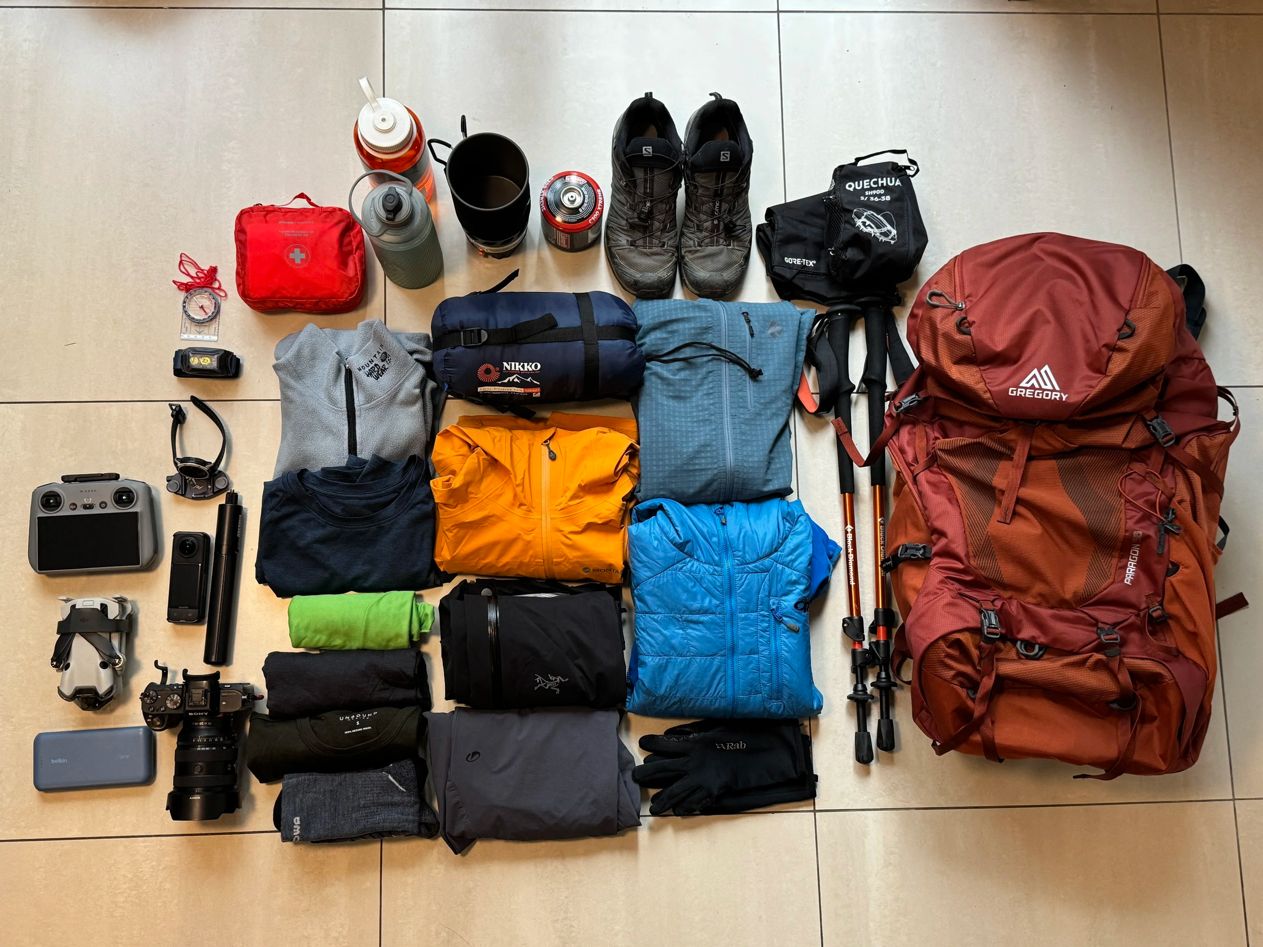
Clothing & Layering
Waterproof hardshell jacket and rain pants (minimum 20,000 mm waterproof rating with taped seams)
Merino wool base layers (top and bottom leggings)
Warm insulating mid-layer (fleece jacket or lightweight down/synthetic hoodie)
Windproof trekking trousers and quick-dry hiking shirts
Warm beanie, buff or neck gaiter, and windproof thermal gloves
3 to 4 pairs of merino wool hiking socks
Footwear & River Gear
Sturdy, broken-in waterproof hiking boots with supportive ankle protection
Dedicated river-crossing shoes (neoprene booties or secure water sandals)
Lightweight quick-dry pack towel (to dry feet immediately after river crossings)
Camping & Sleeping (For Campers)
Sturdy 3-to-4-season mountain tent capable of handling gale-force winds
Sleeping bag rated to comfort temperatures of -2°C to 0°C (30°F or lower)
High R-value insulated sleeping pad (R-3.5 or higher to block ground cold)
Backpacking stove, lighter, pot, and camp fuel
Heavy-duty stakes suitable for loose volcanic gravel and sand
Trail Essentials
40L to 55L backpack with a heavy-duty waterproof rain cover
Internal dry sacks (pack all clothing and sleeping bags in sealed dry bags)
Sturdy trekking poles (essential for wading rivers and steep scree descents)
Fully charged power bank and charging cables
Headlamp (vital from mid-August through September as nights turn dark)
Offline maps on your phone (AllTrails Plus or GPX viewer) and backup compass
Physical credit or debit card, plus a small amount of cash for emergency hut supplies
Frequently Asked Questions (FAQ)
What cooking facilities are available in the huts versus camping?
If you stay inside the mountain huts, the communal kitchens are fully equipped with gas stoves, cookware, cutlery, kettles, and cooking utensils. Washing up liquid, brushes, tea towels, and tablecloths are also supplied for guests.
If you are camping, you do not have access to the indoor hut kitchens and must carry your own camp stove, pot, and fuel canisters. While you will often spot half-used gas canisters left behind in communal storage boxes by departing hikers, never rely on them. Buy your canisters in Reykjavik or at the small camp store in Landmannalaugar before starting. If you arrive by air, check the designated fuel surrender shelves near the airport where incoming travelers sometimes score free canisters.
Can I buy food along the trail?
Landmannalaugar has a small converted bus grocery shop where you can pick up a selection of dry goods, snacks, and last-minute essentials. Past Landmannalaugar, however, you will not find grocery stores or regular meal options at the intermediate huts. You must carry all your own food for the duration of the hike. Lightweight, calorie-dense freeze-dried meals remain the best and most reliable choice.
Should I bring cash or cards?
Always bring sufficient cash in Icelandic Króna (ISK). While card terminals are installed at the wardens' desks, high-altitude satellite connections in the Highlands are notoriously fickle and drop during poor weather. If the satellite link cuts out, cash is the only accepted payment method for campsite fees, showers, and emergency supplies.
How warm are the mountain huts?
All the huts are heated geothermally straight from the ground, which makes them surprisingly warm indoors. Because the geothermal heating runs continuously and cannot be individually adjusted, rooms can get quite hot overnight. If you are sleeping in the huts, a lightweight 2-to-3-season sleeping bag or sleeping bag liner is plenty. If you are camping, the opposite applies: highland winds and night frosts require a true 3-to-4-season sleeping bag, an insulated pad, and warm thermal layers.
What are the main hut rules to know?
Quiet hours: Lights out and quiet time is strictly enforced at 10:00 PM across all huts.
Footwear: Outdoor hiking boots must be removed immediately upon entering the front mudroom. Pack a pair of lightweight camp slides, slip-on shoes, or warm booties to wear inside.
Toilets: Most hut locations have outdoor toilet blocks situated a short walk from the sleeping quarters, so keep your headlamp and slip-on shoes handy for nighttime trips.
Can I charge my phone and camera along the trail?
Do not rely on the huts for power. Þórsmörk is the only stop with a designated public charging deck at reception, and it does not operate 24 hours. The other mountain huts have no public wall outlets or charging stations. Carry high-capacity power banks (at least 15,000 to 20,000 mAh) and keep your devices insulated inside warm socks to stop battery drainage in cold weather.
Is there Wi-Fi or phone signal?
There is no public Wi-Fi at any of the huts along the route. Mobile 4G signal is extremely patchy across the Highlands, dropping out completely in low river valleys and behind volcanic ridges. Expect to be entirely off-grid for several days. Download all offline maps ahead of time and share your detailed route and turnaround times with a trusted contact before leaving Reykjavik.
What are the sleeping arrangements like inside the huts?
Hut sleeping quarters are communal and simple. You will sleep on sturdy wooden bunks fitted with single or shared double foam mattresses. Sleeping assignments are coordinated directly by the hut warden when you check in. A clean mattress is provided, but you must bring your own sleeping bag as duvets and sheets are not supplied.
Are hot showers available at every hut?
No. Hrafntinnusker sits at high altitude with limited water reserves and has no shower facilities at all. Álftavatn, Emstrur, and Þórsmörk do have showers. A hot shower costs 1,100 ISK for a 5-minute timed token, which you can purchase at the warden's desk. Cold water showers are accessible free of charge if you feel brave enough.
When do hut bookings open for the season?
5-Day Packages (North to South): Multi-day packages through Ferðafélag Íslands release starting in September the year prior. This classic bundle covers consecutive nights from Landmannalaugar through to Þórsmörk.
Individual Hut Nights & 2-to-3-Day Treks: If you want to customize your route or tackle a shorter 2-to-3-day itinerary, individual hut bunks are released later in the year, around late December or January. Keep in mind that packages and standard hut sequences operate strictly North to South.
